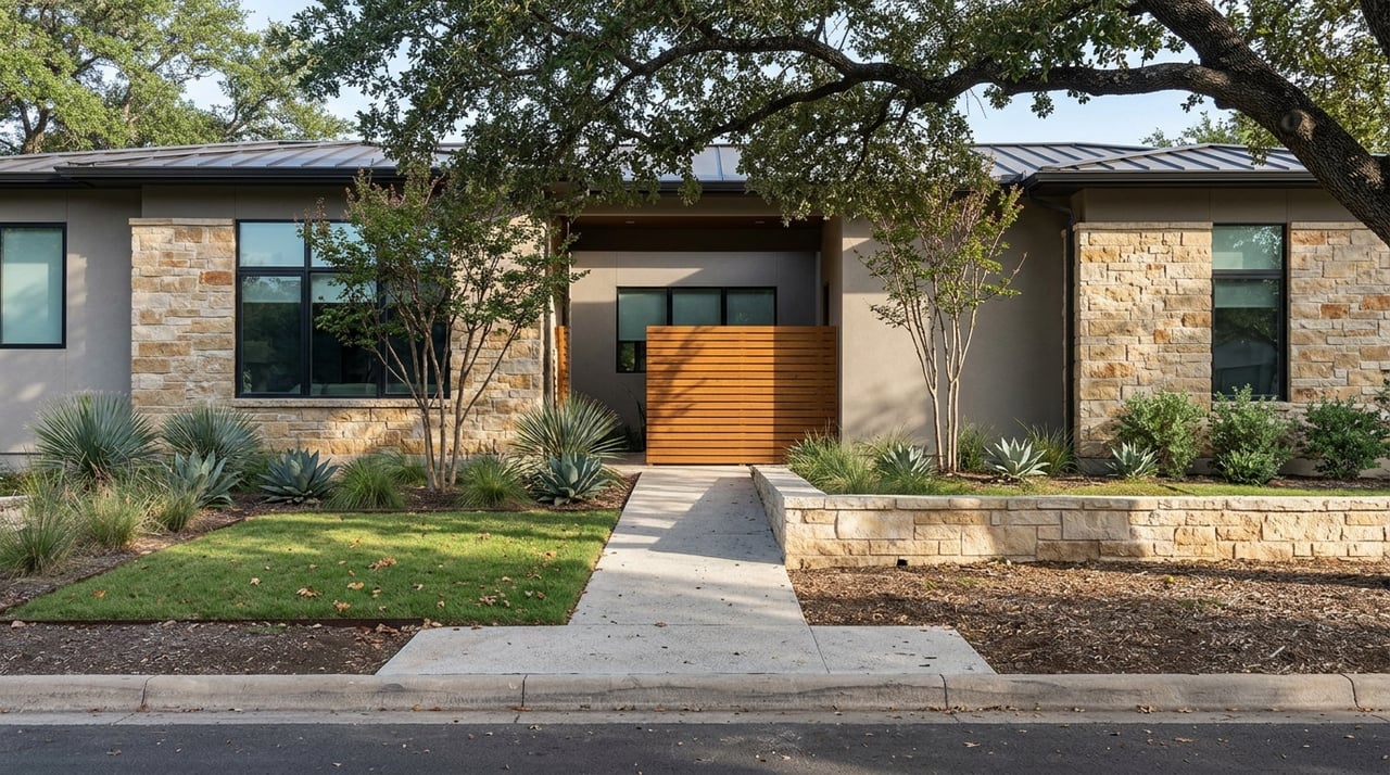
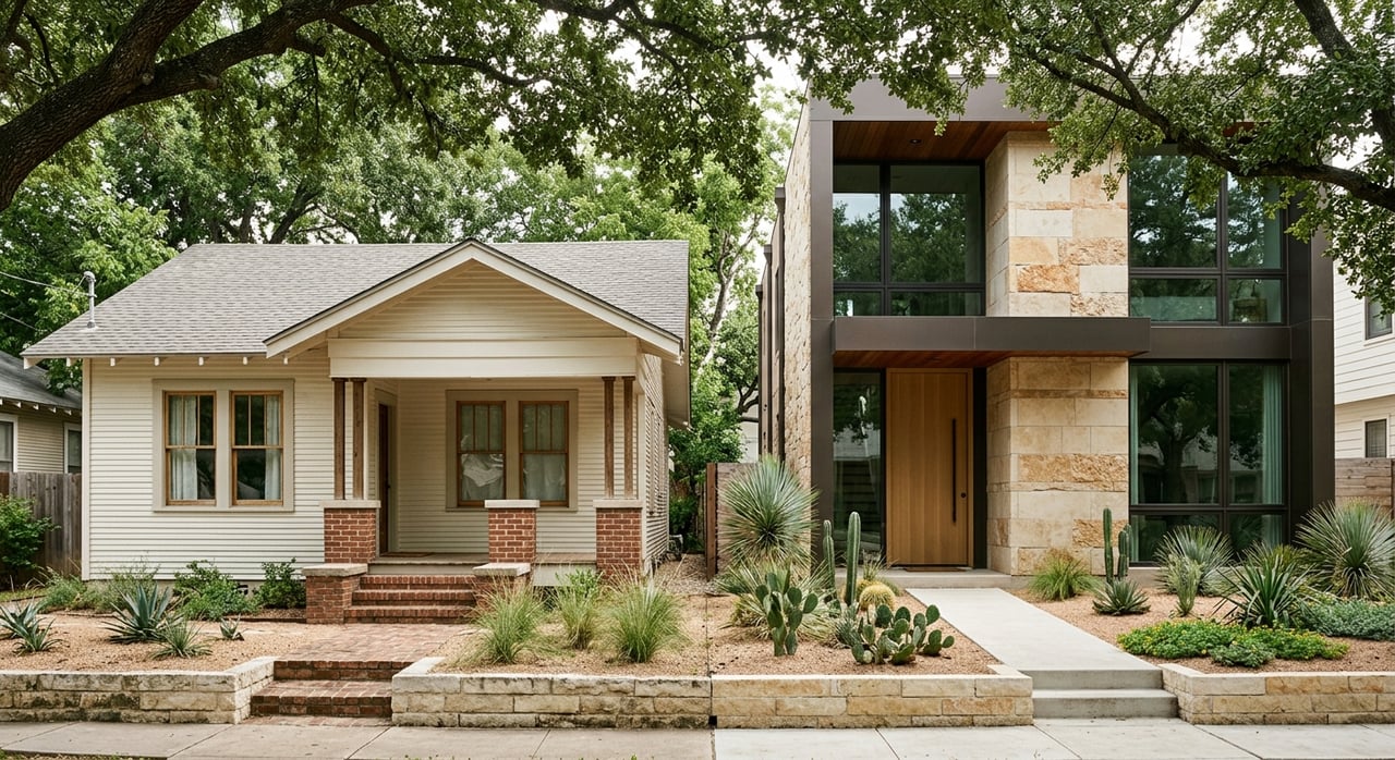
Buying a Greenbelt Lot in Barton Hills: What It Means
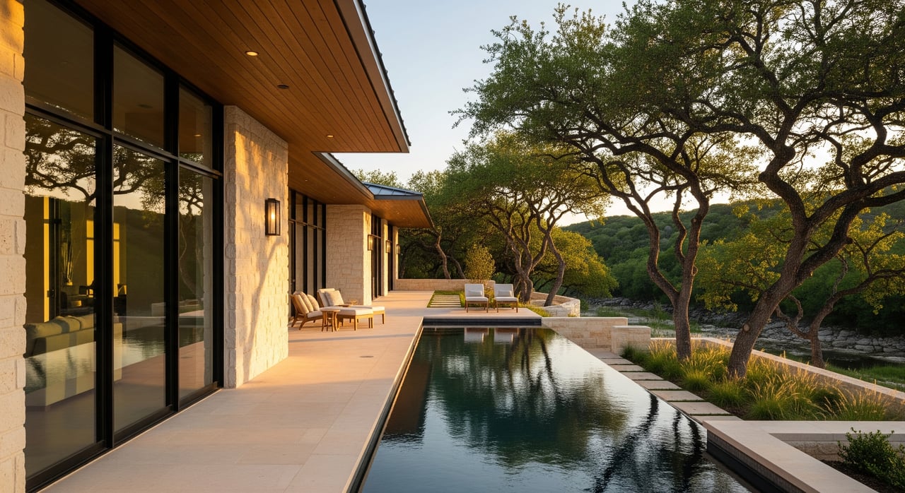
Thinking about a Barton Hills home that backs to the Barton Creek Greenbelt? The setting can feel like a private sanctuary with trees, trails, and long views. You also face unique rules and realities that affect access, privacy, insurance, and resale. In this guide, you’ll learn what a greenbelt lot actually means in Barton Hills, the lifestyle trade-offs, and a clear checklist to use before you write an offer. Let’s dive in.
In Barton Hills, a greenbelt lot usually means your property line backs to the Barton Creek Greenbelt or to private open space that functions like a greenbelt. Most of the greenbelt is city parkland managed by Austin Parks and Recreation. Some tracts next to homes are private, sometimes with conservation or utility easements.
The difference matters. If you back to city parkland, you do not control that land and cannot build or fence into it. If you back to private land, easements could still limit what you or your neighbor can do. Always verify the status in the deed, plat, and survey.
Many buyers expect direct trail access, strong privacy, and big views. You often get those benefits, but there are trade-offs. Public trails bring people, trailheads can attract parking and noise, and seasonal tree cover changes privacy and views. Environmental rules, slopes, floodplain, and easements can narrow buildable areas and affect future plans.
Greenbelt adjacency does not automatically include a private gate to the trail. Your right to access depends on where the actual property line sits and whether there is a recorded access easement or city license. Without it, direct access is not a given.
Look closely for recorded easements in the deed, plat, and survey. Common ones include:
Owners are responsible for their own lots and for preventing encroachments onto parkland. You generally cannot exclude the public from city trails. If a fence, stairs, or deck appears to extend onto public land, you will need documentation that a permit or license was issued.
Creek-adjacent properties often intersect the FEMA 100-year floodplain or local flood hazard areas. Some lots sit on a buildable ridge above the floodplain, while others include steep banks where erosion can be an issue. Floodplain status can affect permitting, foundation design, and the availability and cost of flood insurance.
Austin-specific environmental rules also apply. Save Our Springs protections and watershed regulations restrict impervious cover, control runoff, and require enhanced erosion controls during construction. The Austin Tree Ordinance may require permits or mitigation for removal or alteration of large trees. Watershed buffers and other environmental features can further limit where you can place structures and driveways.
Zoning, setbacks, and any private covenants layer on top of environmental rules. The combined effect can substantially shrink a buildable envelope. If you plan to add a pool, guest house, or major addition, consult city staff early to understand approvals and timelines.
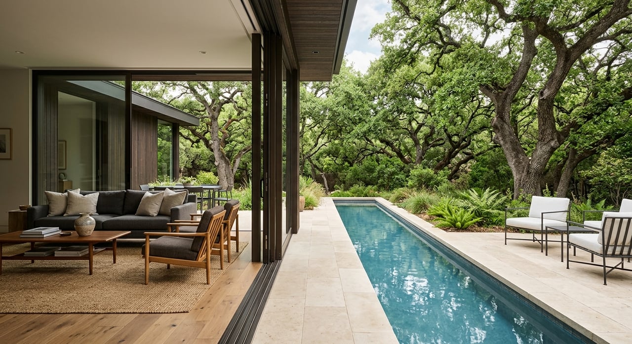
Living next to the greenbelt puts hiking, mountain biking, and birding close at hand. Some homes have formal or informal access paths, but legal access depends on recorded rights. Popular trailheads can increase street parking and foot traffic, especially on weekends.
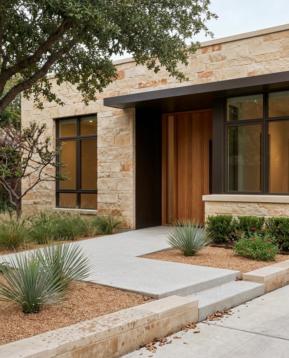
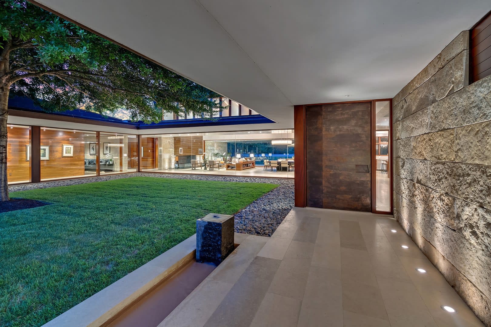
Tree cover and natural topography often create a strong sense of separation. Elevated lots can offer long views. Privacy is relative near a public trail, and leafy screens can thin in winter. Nearby private parcels may change over time, subject to zoning and easements.
Expect more wildlife and native vegetation. That can be a delight and a maintenance responsibility. Smart landscaping and pest prevention are helpful. Be mindful of disease vectors and invasive plants, and follow local guidance where removal or mitigation is required.
Greenbelt edges experience more erosion, fallen limbs after storms, and higher fire risk during drought. Park maintenance is on the city’s schedule, not yours, so coordination may be required at boundaries. A proactive plan for tree care, slope stability, and drainage is wise.
Proximity to floodplain or steep slopes can affect your insurance options and cost. Lenders may require current surveys, flood certifications, or engineering reviews for safety and buildability. Being prepared with documentation can smooth underwriting and protect future plans.
Use this checklist before you make an offer on a Barton Hills greenbelt lot.
If you are selling, lead with clarity. Buyers respond to accurate maps, current surveys, and a simple summary of easements, setbacks, and floodplain. Transparent documentation builds trust and speeds decision-making.
Showcase the lifestyle while setting realistic expectations. Highlight privacy screens, trail proximity, seasonal views, and outdoor living zones that respect buffers. Schedule showings when trail impact is lowest if street activity is a concern.
Finally, prepare for due diligence. Gather permits, encroachment licenses, tree documentation, and any city correspondence. Removing uncertainty often protects pricing and shortens time on market.
A Barton Hills greenbelt lot can deliver a rare mix of nature, privacy, and convenience. The key is to confirm what is on paper before you fall in love with what you see over the fence. With the right survey, title review, and city guidance, you can buy with confidence and plan improvements that fit the rules and the land.
If you are weighing a greenbelt opportunity or preparing to sell one, let’s talk through your goals, constraints, and next steps. For discreet, concierge guidance on Barton Hills and West Austin, connect with Cord Shiflet.
Stay up to date on the latest real estate trends.
Cord prizes trust. His clients trust him to value and protect their real estate investments. And how’s this for a bonus? He is fun to work with because he loves his work. Whether representing an A-list celebrity or Austin executive, Cord personifies Texas’ entrepreneurial spirit: Play hard. Have fun. Work harder.
CORD SHIFLET
EMAIL US: [email protected]
CALL US: (512) 751-2673
3825 Lake Austin Blvd., #501 Austin, TX 78703